Jaffa Gateway, a previously neglected industrial area in the rear end of Tel Aviv, that has retained a unique usage mix during the last 20 years, showcasing the resilience of the neighborhood. HQ Architects’ Masterplan aims to achieve an interesting balance, while incorporating different uses including industrial, tech, creative and residential, making the area a vibrant place for both commercial and residential users.
To maintain this mosaic of uses, we developed a tool that allows keeping the DNA of the place and a statutory mechanism that permits keeping the local community, uses, and the entire existing balance, while developing the neighborhood according to their current needs.
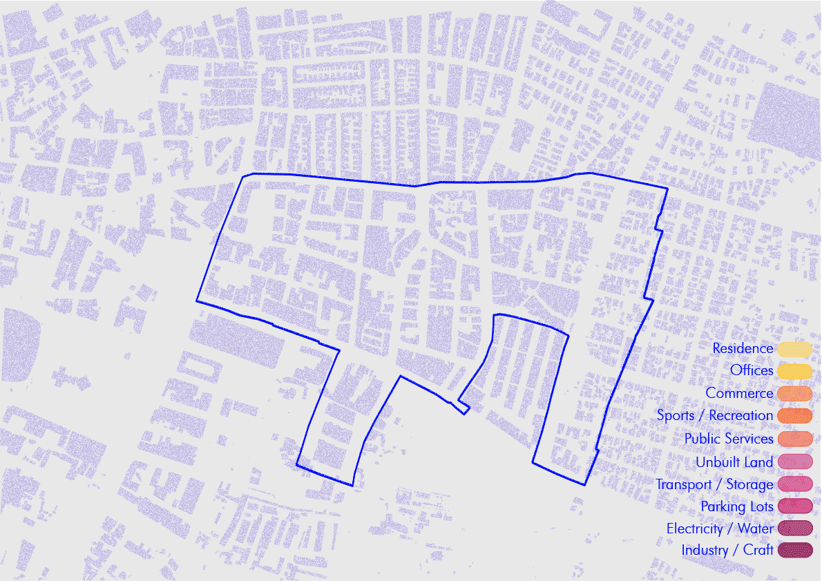
The Masterplan’s precise and thoughtful approach is based on an extensive research regarding the daily usage of the area, and working together with many different divisions of the Tel Aviv municipality, leading to the creation of a large database emphasizing on the unique qualities of the area. Through data analysis we discovered patterns of people's movement across the area, activity hours for every use, and understood how two contradicting functions can operate simultaneously (residential and industrial). This knowledge was encapsulated into a policy paper aiming to create urban resilience and maintain the existing uses, while developing the neighborhood as a mixed-use urban quarter.
Following our data analysis, the next stage of our proposal incorporated translating the database into a parametric system, which allows us to create simulations of future planning scenarios. In this manner, city planners and architects can have a deeper understanding of how a plan for a single property could affect the whole urban system.